Sunday, May 07, 2017
Carn Breac Beag
This is a small hill of 387m (1270ft), standing on the high moors that lie between the A835 and the Destitution Road. It carries, on the OS map, the magic blue symbol of a triangulation pillar. Using the Cuileag Gorge walk for access, we set off along the road towards Auchindrean on a dullish, blowy morning.
The sheep fields held herring and lesser black-backed gulls, pied wagtails, and a wheatear. Spotting the gate in the fence above, we left the track and climbed up, our spirits lifting as we gained the open country beyond.
Faint fluty calls carried on the wind alerted us to a flock of 39 golden plovers swooping above the valley and hillside.
Meadow pipits and skylarks were on the higher slopes, and a raven patrolled a rocky skyline in the distance; but no birds could be seen as we gained the ridge and approached the trig point.
Looking west to the wild Fisherfield Forest.....
Looking south-east up the long ascent of the A835 - the Dirrie More.....
Sombre, lochan-studded moors stretched emptily towards the western Fannichs.
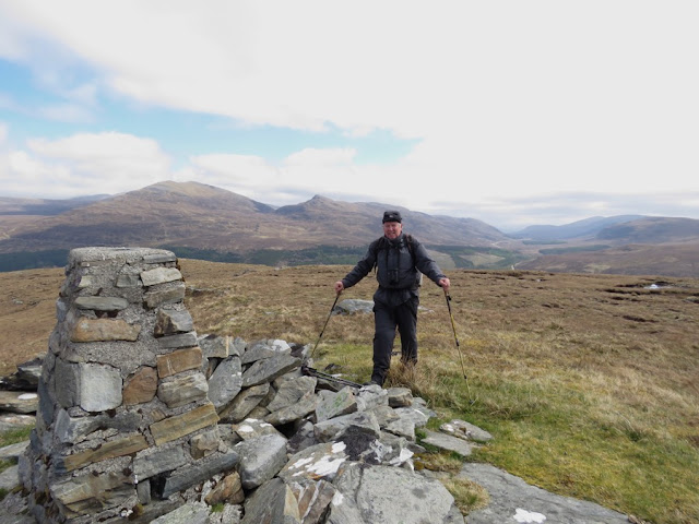
I was reluctant to leave. This slightly wonky triangulation pillar (FB no S7930) stands in splendid isolation on these lonely moors, and it felt very special to spend time there. But, despite the clearing sky and increasing sunny spells, it was still pretty windy, so after a final snapshot.....
.....we headed down south-east towards the Cuileig Gorge, causing a herd of red deer to set off running.
While we still had the fabulous views, we found a comfortable seat on the rim of a dried-out peat-hag and had our lunch. A wheatear kept an eye on us from a distant rocky outcrop and a red grouse appeared briefly on the skyline.


